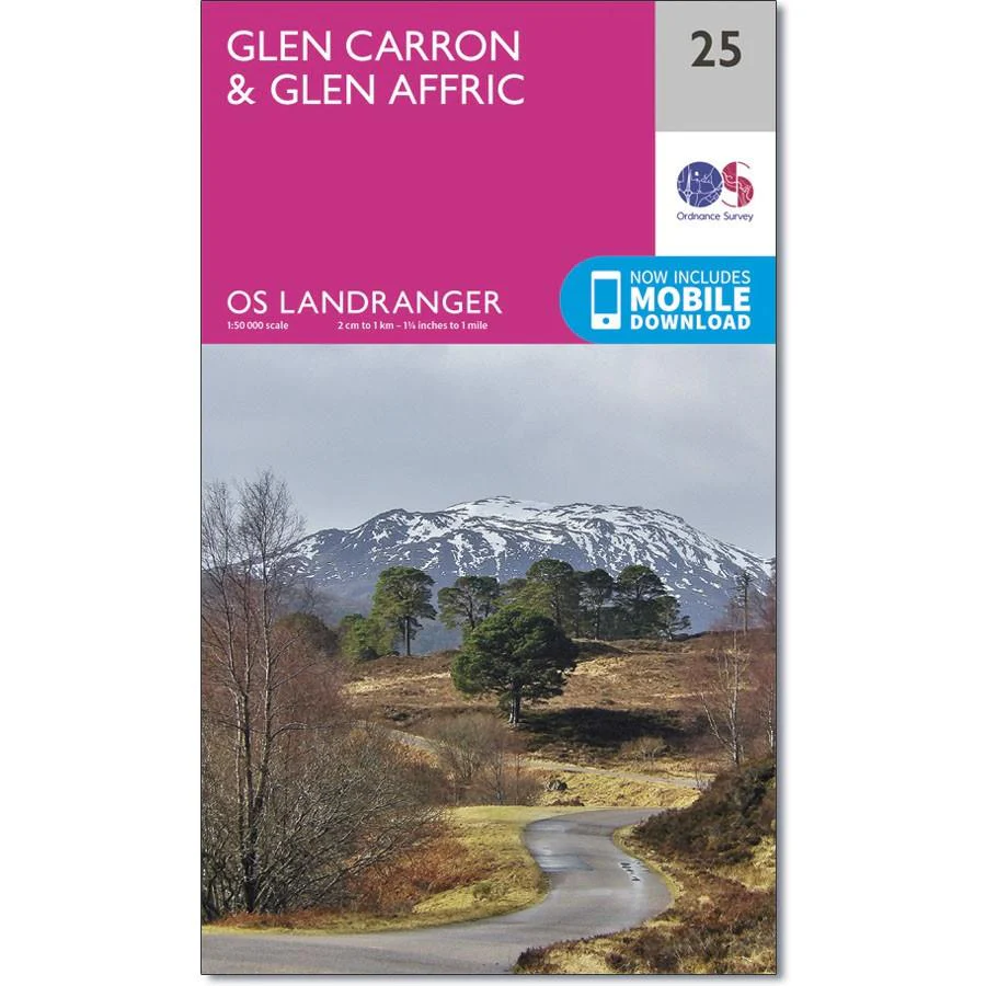
Ordnance Survey Landranger Map 25 Glen Carron & Glen Affric
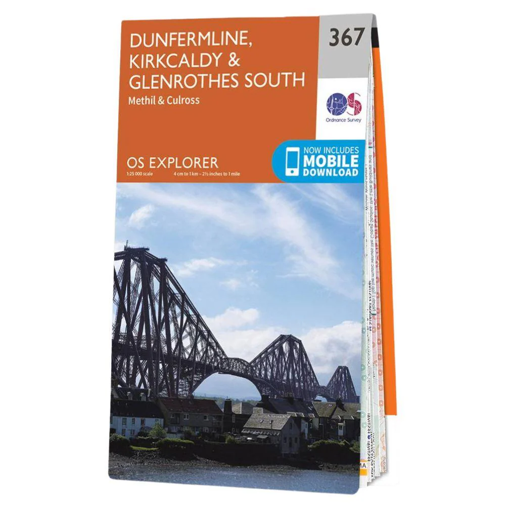
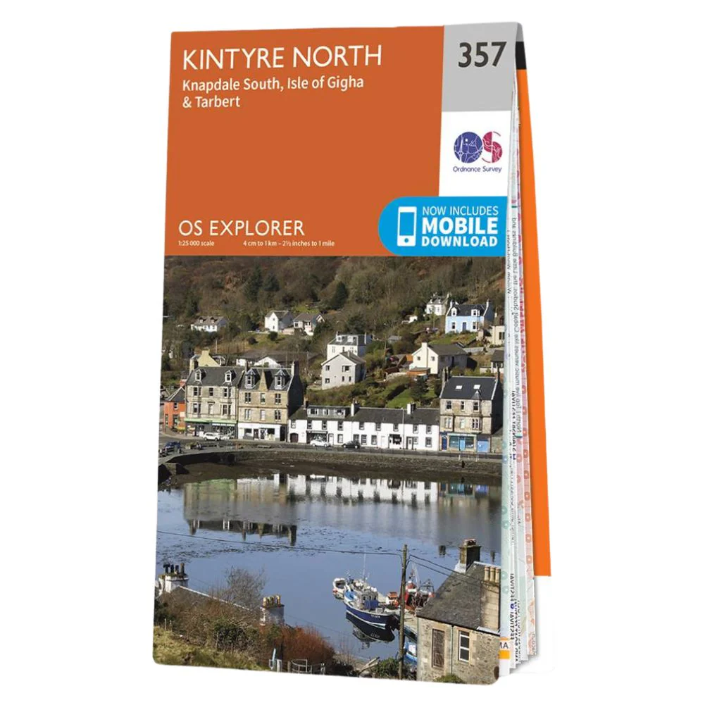
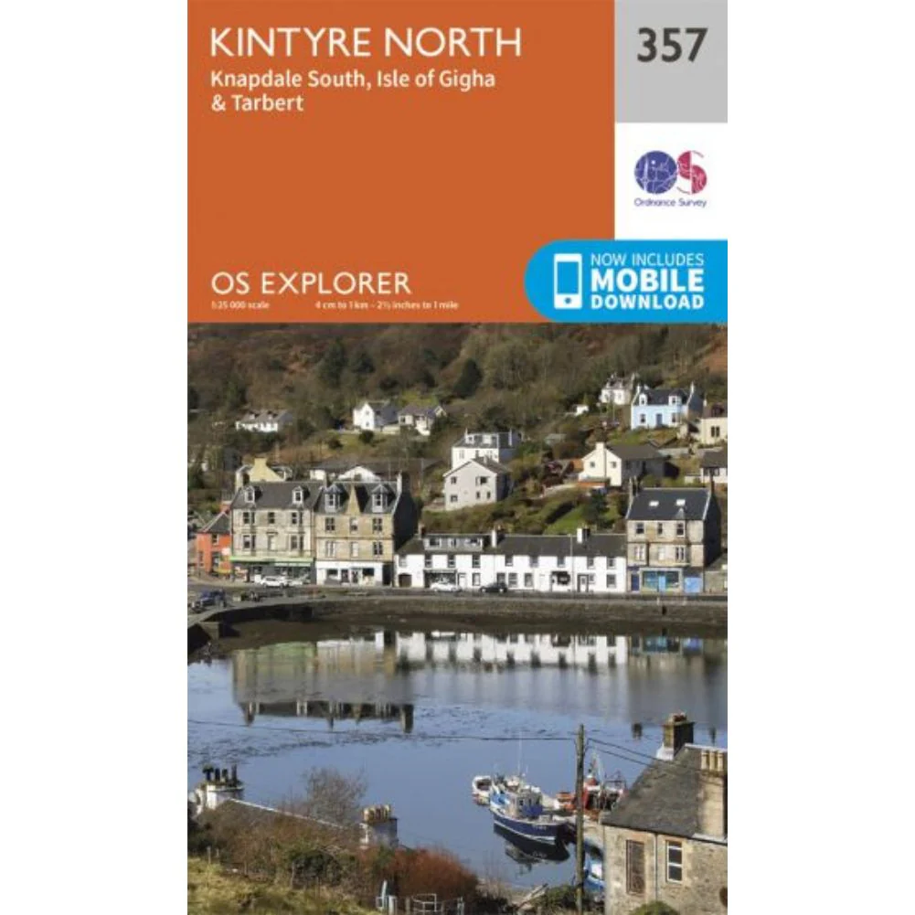
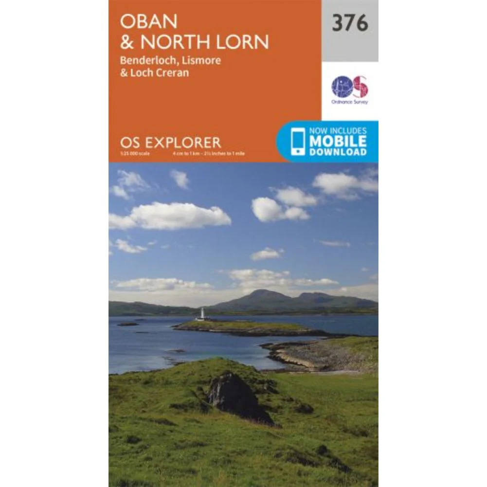
The Ordnance Survey Landranger Map 25 Glen Carron & Glen Affric is the ideal map for planning the perfect day out. Whether visiting town or country, a wealth of visitor attractions, including National Trust properties, museums, gardens, golf courses and castles, are illustrated. The 1:50k scale mapping provides an ideal compromise between detail and coverage whilst still retaining topographical and contour properties.
Ordnance Survey Landranger Map 25 Glen Carron & Glen Affric Features:
- Highland
Ordnance Survey Landranger Map 25 Glen Carron & Glen Affric Specifications:
- Roads, railways and ferry routes
- Paths, national trails and cycle routes
- National Trust areas
- Forestry Commission land
- National Parks
- Tourist information and places of interest
- Camping and caravan sites
- Picnic areas and viewpoints
- Rights-of-way information for England and Wales.
This series features 204 maps each covering 40km x 40km (25 miles x 25 miles) How to access the digital version of this map
This map comes with a digital version which you can download to your smartphone or tablet.
Go to OS.uk/redeem for more details (terms and conditions apply).
Scratch off the panel on the inside cover of the map to reveal a code, you are then just three easy steps away from downloading your digital map.
If the scratch panel has already been scratched off or if you have any problems downloading your map, please call the OS Customer Service Centre on 03456 050505.
Product Information
Product Information
Shipping & Returns
Shipping & Returns
Description
The Ordnance Survey Landranger Map 25 Glen Carron & Glen Affric is the ideal map for planning the perfect day out. Whether visiting town or country, a wealth of visitor attractions, including National Trust properties, museums, gardens, golf courses and castles, are illustrated. The 1:50k scale mapping provides an ideal compromise between detail and coverage whilst still retaining topographical and contour properties.
Ordnance Survey Landranger Map 25 Glen Carron & Glen Affric Features:
- Highland
Ordnance Survey Landranger Map 25 Glen Carron & Glen Affric Specifications:
- Roads, railways and ferry routes
- Paths, national trails and cycle routes
- National Trust areas
- Forestry Commission land
- National Parks
- Tourist information and places of interest
- Camping and caravan sites
- Picnic areas and viewpoints
- Rights-of-way information for England and Wales.
This series features 204 maps each covering 40km x 40km (25 miles x 25 miles) How to access the digital version of this map
This map comes with a digital version which you can download to your smartphone or tablet.
Go to OS.uk/redeem for more details (terms and conditions apply).
Scratch off the panel on the inside cover of the map to reveal a code, you are then just three easy steps away from downloading your digital map.
If the scratch panel has already been scratched off or if you have any problems downloading your map, please call the OS Customer Service Centre on 03456 050505.