✨ New Arrivals Just Dropped!Explore

1 / 5
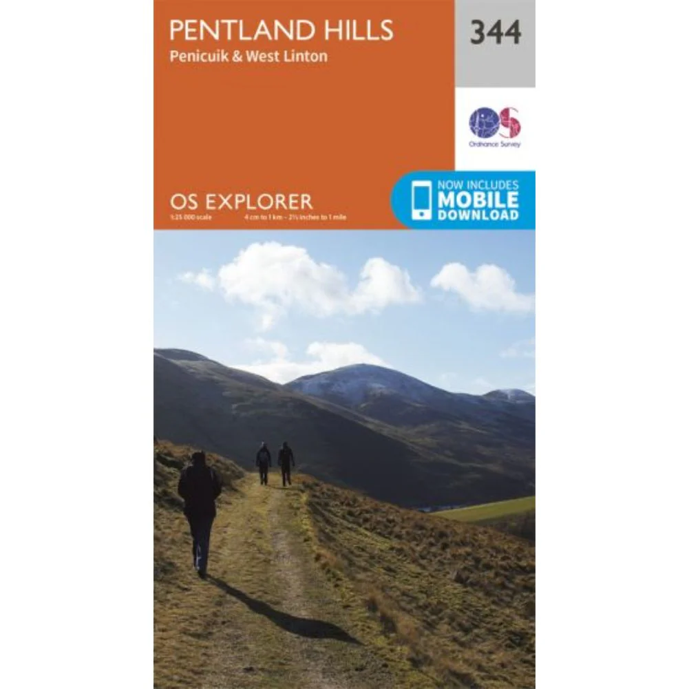
Ordnance Survey Explorer Map 344 Pentland Hills
Ordnance Survey Explorer Map 344 Pentland Hills
- OS Explorer map sheet 344 shows Penicuik, the Pentland Hills and the surrounding area.
- The Pentland Hills Regional Park offers walking, cycling, fishing, horse riding, orienteering and camping facilities.
- With this map, you will receive a code for use on your iOS or Android smartphone or tablet.
$14.93
Ordnance Survey Explorer Map 344 Pentland Hills—
$14.93
Product Information
Product Information
Shipping & Returns
Shipping & Returns
Description
Ordnance Survey Explorer Map 344 Pentland Hills
- OS Explorer map sheet 344 shows Penicuik, the Pentland Hills and the surrounding area.
- The Pentland Hills Regional Park offers walking, cycling, fishing, horse riding, orienteering and camping facilities.
- With this map, you will receive a code for use on your iOS or Android smartphone or tablet.