✨ New Arrivals Just Dropped!Explore

1 / 5
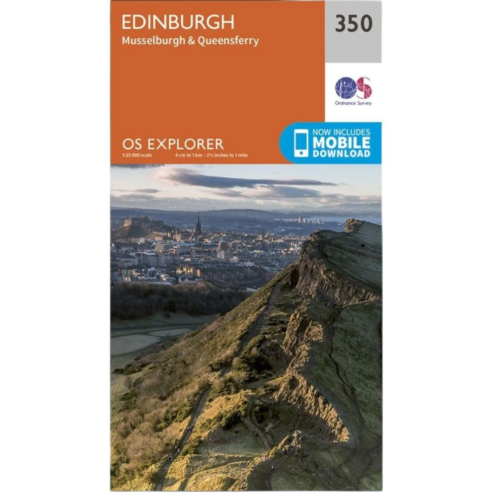
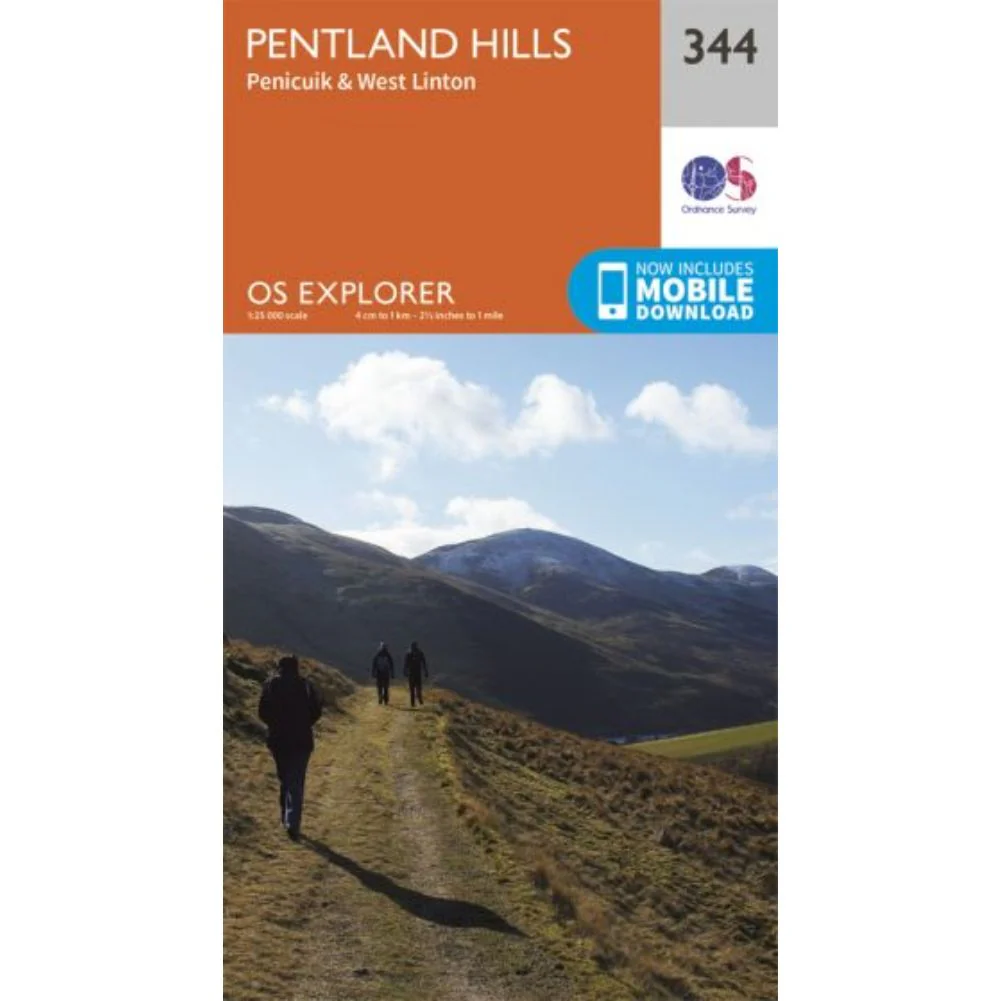
Ordnance Survey Explorer Map 358 Lochgilphead & Knapdale North
Ordnance Survey Explorer Map 358 Lochgilphead & Knapdale North
- OS Explorer map 358 covers northern Knapdale, including most of the Knapdale National Scenic Area, as well as Lochgilphead and the western shores of Loch Fyne.
- With this map, you will receive a code for use on your iOS or Android smartphone or tablet.
$5.23
Original: $14.93
-65%Ordnance Survey Explorer Map 358 Lochgilphead & Knapdale North—
$14.93
$5.23Product Information
Product Information
Shipping & Returns
Shipping & Returns
Description
Ordnance Survey Explorer Map 358 Lochgilphead & Knapdale North
- OS Explorer map 358 covers northern Knapdale, including most of the Knapdale National Scenic Area, as well as Lochgilphead and the western shores of Loch Fyne.
- With this map, you will receive a code for use on your iOS or Android smartphone or tablet.