✨ New Arrivals Just Dropped!Explore

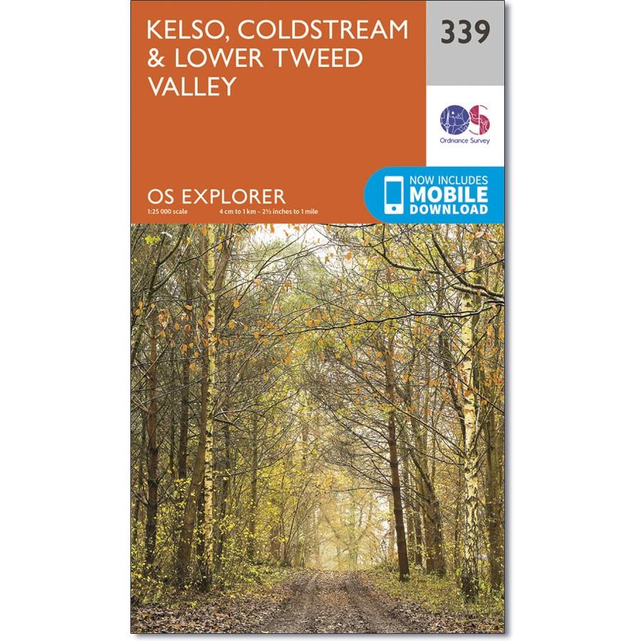
Ordnance Survey Explorer Map 339 Kelso, Coldstream & Lower Tweed Valley
Ordnance Survey Explorer Map 339 Kelso, Coldstream & Lower Tweed Valley
Map sheet number 339 covers Kelso and Coldstream. Highlights include Northumberland National Park and Borders Abbeys Way. Also includes River Tweed, Newtown St Boswells, Norham and Doddington.
With this map you will receive a code for use on your iOS or Android smartphone or tablet.
$14.93
Ordnance Survey Explorer Map 339 Kelso, Coldstream & Lower Tweed Valley—
$14.93
Product Information
Product Information
Shipping & Returns
Shipping & Returns
Description
Ordnance Survey Explorer Map 339 Kelso, Coldstream & Lower Tweed Valley
Map sheet number 339 covers Kelso and Coldstream. Highlights include Northumberland National Park and Borders Abbeys Way. Also includes River Tweed, Newtown St Boswells, Norham and Doddington.
With this map you will receive a code for use on your iOS or Android smartphone or tablet.