Ordnance Survey Explorer OL Map 49 - Pitlochry & Loch Tummel - Aberfeldy,Kinloch Rannoch & Schiehallion
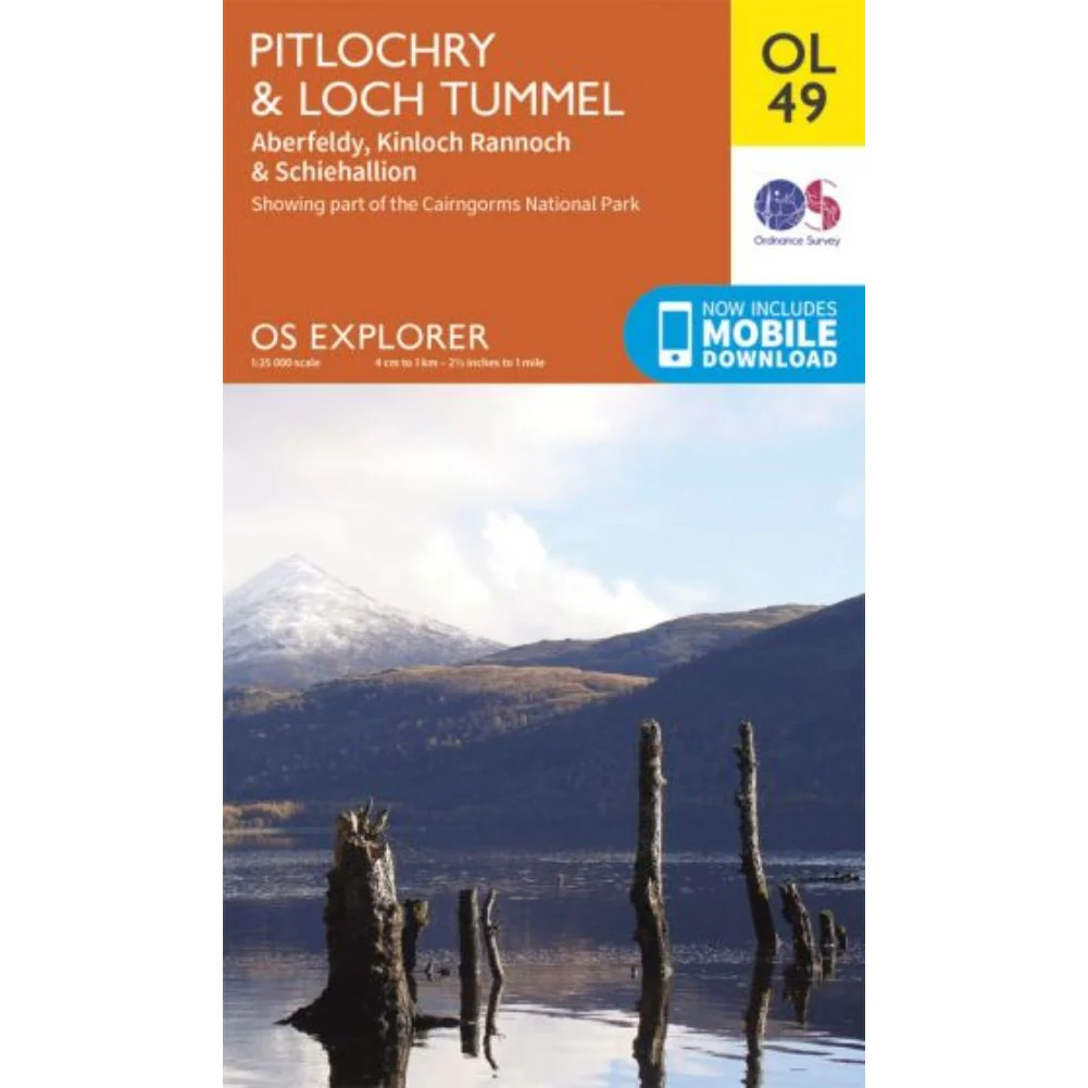
Ordnance Survey Explorer OL Map 49 - Pitlochry & Loch Tummel - Aberfeldy,Kinloch Rannoch & Schiehallion
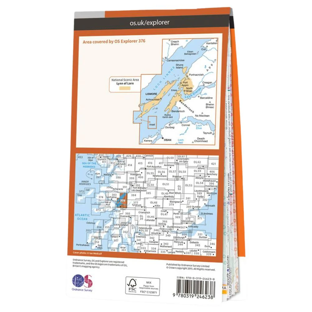
The Ordnance Survey Explorer OL Map 49 - Pitlochry & Loch Tummel - Aberfeldy, Kinloch Rannoch & Schiehallion is the Ordnance Survey’s most detailed folding map and is recommended for anyone enjoying outdoor activities including walking, horse riding and off-road cycling. Providing complete GB coverage, the OS Explorer map series details information essential in the great outdoors, including youth hostels, pubs and visitor information. Rights of way, fences, permissive paths and bridleways are clearly shown, ensuring you have the best information to get the most out of your time in the countryside.
Ordnance Survey Explorer OL Map 49 - Pitlochry & Loch Tummel - Aberfeldy, Kinloch Rannoch & Schiehallion Features:
-
Tayside
-
Pitlochry
Original: $14.93
-65%$14.93
$5.23Product Information
Product Information
Shipping & Returns
Shipping & Returns
Description
The Ordnance Survey Explorer OL Map 49 - Pitlochry & Loch Tummel - Aberfeldy, Kinloch Rannoch & Schiehallion is the Ordnance Survey’s most detailed folding map and is recommended for anyone enjoying outdoor activities including walking, horse riding and off-road cycling. Providing complete GB coverage, the OS Explorer map series details information essential in the great outdoors, including youth hostels, pubs and visitor information. Rights of way, fences, permissive paths and bridleways are clearly shown, ensuring you have the best information to get the most out of your time in the countryside.
Ordnance Survey Explorer OL Map 49 - Pitlochry & Loch Tummel - Aberfeldy, Kinloch Rannoch & Schiehallion Features:
-
Tayside
-
Pitlochry