Ordnance Survey Explorer Map 408 Skye - Trotternish & The Storr
Ordnance Survey Explorer Map 408 Skye - Trotternish & The Storr
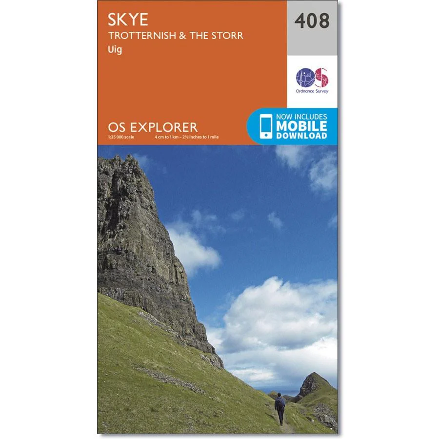
Map sheet number 408 in the OS Explorer map series is the ideal map to use for exploring this northern area of the Isle of Skye including Uig, Trotternish and The Storr. Trotternish boasts some of the most spectacular scenery in the British Isles with impressive rock formations having been formed over the centuries.
Highlights of the area include The Quiraing, The Storr rock pinnacle, Museum of Highland Life at Uig and the Dinosaur footprints on Staffin Beach.
With this map you will receive a code for use on your iOS or Android smartphone or tablet.
Original: $14.93
-65%$14.93
$5.23Product Information
Product Information
Shipping & Returns
Shipping & Returns
Description
Ordnance Survey Explorer Map 408 Skye - Trotternish & The Storr
Map sheet number 408 in the OS Explorer map series is the ideal map to use for exploring this northern area of the Isle of Skye including Uig, Trotternish and The Storr. Trotternish boasts some of the most spectacular scenery in the British Isles with impressive rock formations having been formed over the centuries.
Highlights of the area include The Quiraing, The Storr rock pinnacle, Museum of Highland Life at Uig and the Dinosaur footprints on Staffin Beach.
With this map you will receive a code for use on your iOS or Android smartphone or tablet.