✨ New Arrivals Just Dropped!Explore

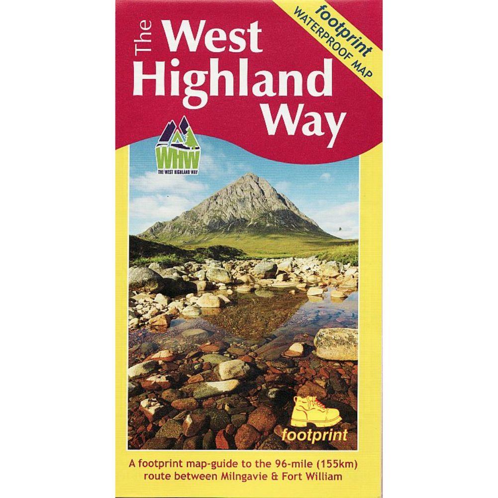
Footprint Map West Highland Way
The West Highland Way Waterproof Map from Footprint is a map-guide to the 95 mile (153km) route between Milngavie and Fort William. The mapping is based on Ordnance Survey data at a scale of 1:40,000, with compact and concise information for walkers. A waterproof map in a durable slipcase, excellent value for money.
West Highland Way Waterproof Map Specifications:
- Dimensions - 14 x 0.3 x 23 cm
- Series - Long Distance Paths
- Activity - Walking
- Brand - FOOTPRINT
- Continent - Europe
- Country - Scotland
$5.21
Original: $14.88
-65%Footprint Map West Highland Way—
$14.88
$5.21Product Information
Product Information
Shipping & Returns
Shipping & Returns
Description
The West Highland Way Waterproof Map from Footprint is a map-guide to the 95 mile (153km) route between Milngavie and Fort William. The mapping is based on Ordnance Survey data at a scale of 1:40,000, with compact and concise information for walkers. A waterproof map in a durable slipcase, excellent value for money.
West Highland Way Waterproof Map Specifications:
- Dimensions - 14 x 0.3 x 23 cm
- Series - Long Distance Paths
- Activity - Walking
- Brand - FOOTPRINT
- Continent - Europe
- Country - Scotland