Ordnance Survey Map OL 61 Grantown-on-Spey & Hills of Cromdale
Ordnance Survey Map OL 61 Grantown-on-Spey & Hills of Cromdale
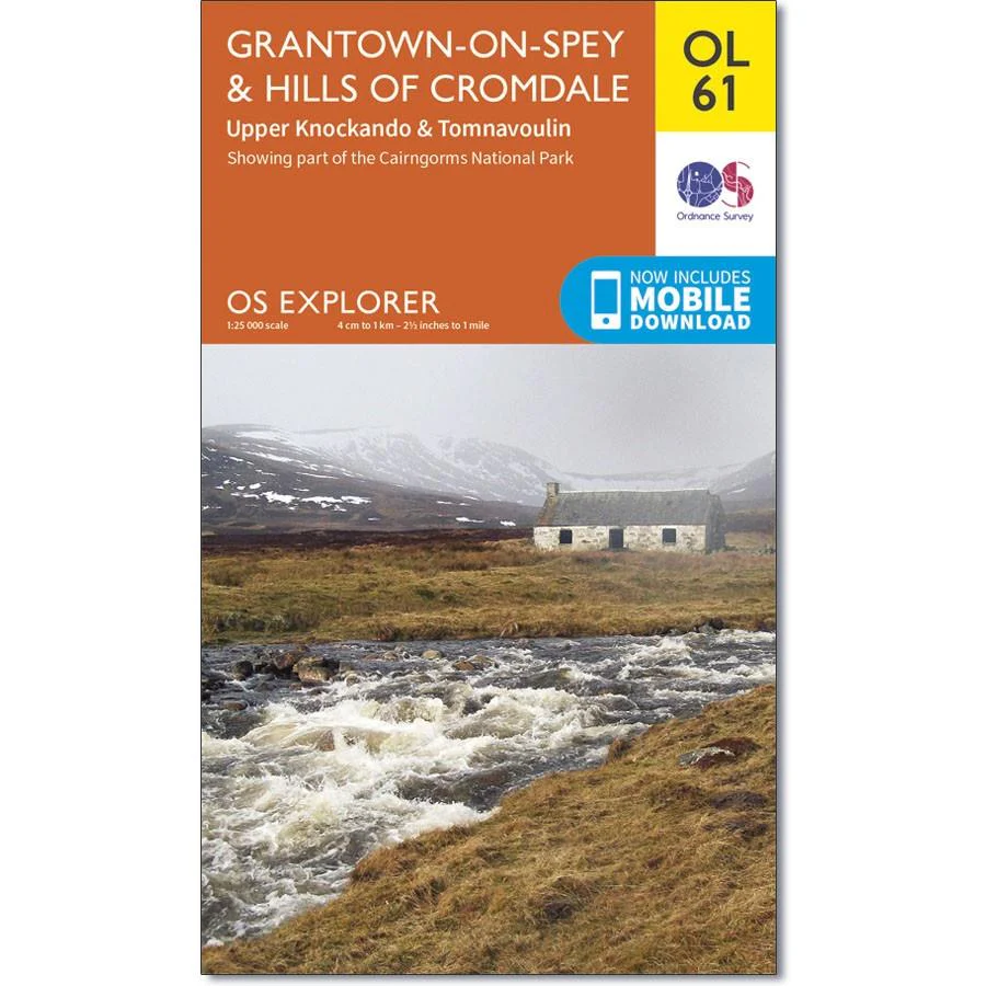
OS Explorer Map OL 61 shows the northern part of the Cairngorms National Park, plus the area around Grantown-on-Spey and Bridge of Avon.
You can explore the Dava Way and the Speyside Way, or aim for the remote Carn Kitty (521m). This map replaces the previous OS Explorer map 419 for this area.
With this map, you will receive a code for use on your iOS or Android smartphone or tablet.
Original: $14.93
-65%$14.93
$5.23Product Information
Product Information
Shipping & Returns
Shipping & Returns
Description
Ordnance Survey Map OL 61 Grantown-on-Spey & Hills of Cromdale
OS Explorer Map OL 61 shows the northern part of the Cairngorms National Park, plus the area around Grantown-on-Spey and Bridge of Avon.
You can explore the Dava Way and the Speyside Way, or aim for the remote Carn Kitty (521m). This map replaces the previous OS Explorer map 419 for this area.
With this map, you will receive a code for use on your iOS or Android smartphone or tablet.