Ordnance Survey Explorer Map 320 Castle Douglas,Loch Ken & New Galloway
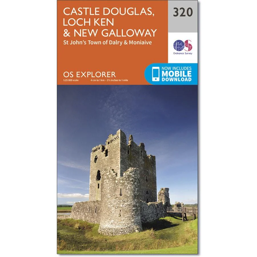
Ordnance Survey Explorer Map 320 Castle Douglas, Loch Ken & New Galloway.
St John’s Town of Dalry & Moniaive
Showing the area around New Galloway, including Luch Ken, Loch Urr, Lochinvar and the Laurieston Forest, OS Explorer map 320 shows as far south as Castle Douglas.
Also showing parts of the Southern Upland Way and the E2 European Long Distance Path.
With this map you will receive a code for use on your iOS or Android smartphone or tablet.
Product Information
Product Information
Shipping & Returns
Shipping & Returns
Description
Ordnance Survey Explorer Map 320 Castle Douglas, Loch Ken & New Galloway.
St John’s Town of Dalry & Moniaive
Showing the area around New Galloway, including Luch Ken, Loch Urr, Lochinvar and the Laurieston Forest, OS Explorer map 320 shows as far south as Castle Douglas.
Also showing parts of the Southern Upland Way and the E2 European Long Distance Path.
With this map you will receive a code for use on your iOS or Android smartphone or tablet.