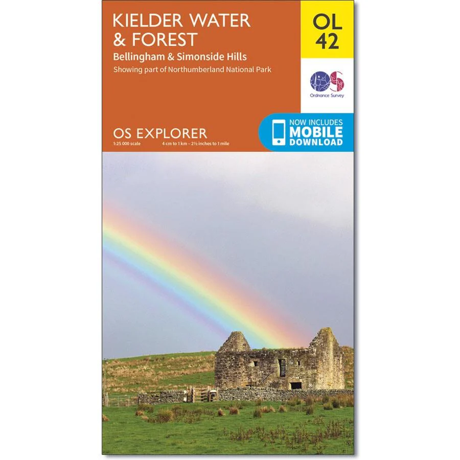
Ordnance Survey Map OL 42 Kielder Water & Forest
Ordnance Survey Map OL 42 Kielder Water & Forest
Map sheet OL42 in the OS Explorer series covers an area of Northumberland National Park stretching from Kielder Forest in the west to Netherwitton in the east and takes in the town of Bellingham. Highlights of the area include: Bloody Bush & Larriston Fells Walk around Kielder Water, The Pennine Way national trail and St. Oswald's Way.
With this map you will receive a code for use on your iOS or Android smartphone or tablet.
Product Information
Product Information
Shipping & Returns
Shipping & Returns
Description
Ordnance Survey Map OL 42 Kielder Water & Forest
Map sheet OL42 in the OS Explorer series covers an area of Northumberland National Park stretching from Kielder Forest in the west to Netherwitton in the east and takes in the town of Bellingham. Highlights of the area include: Bloody Bush & Larriston Fells Walk around Kielder Water, The Pennine Way national trail and St. Oswald's Way.
With this map you will receive a code for use on your iOS or Android smartphone or tablet.