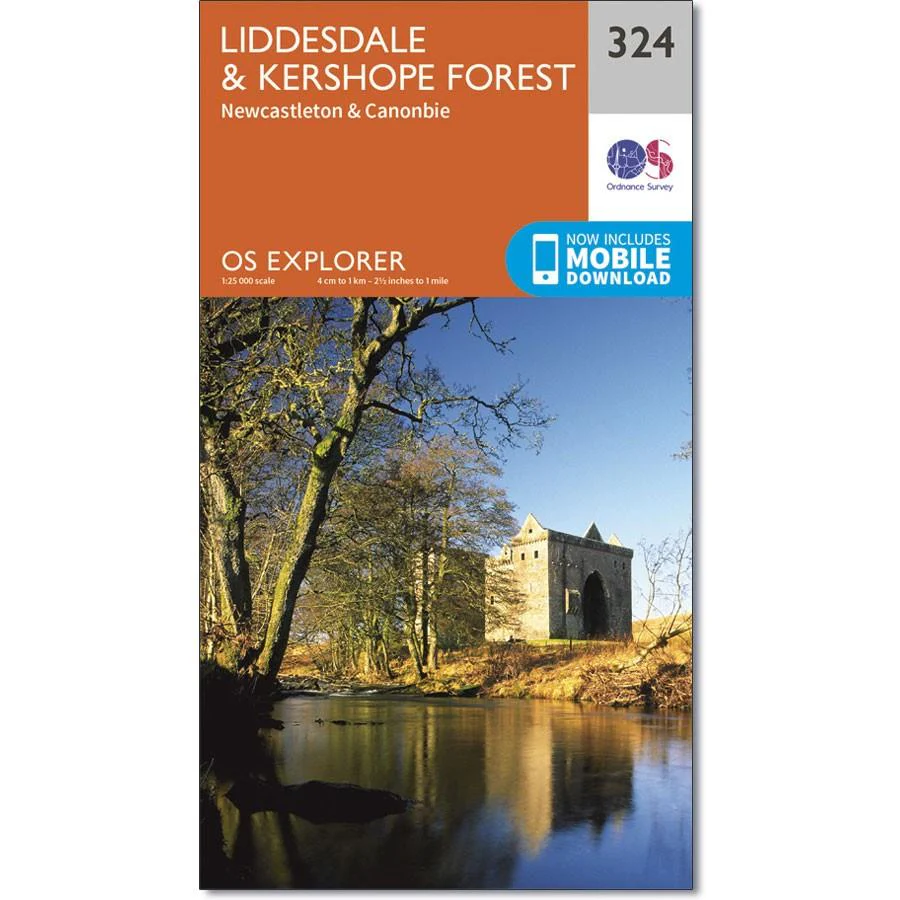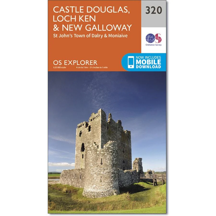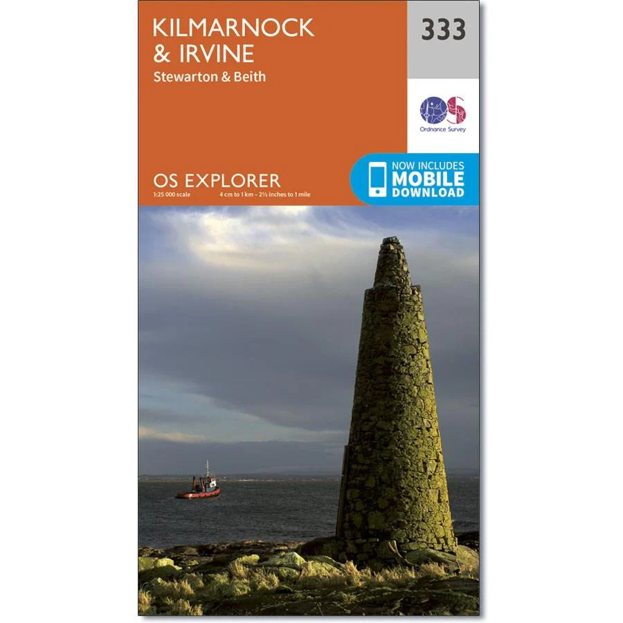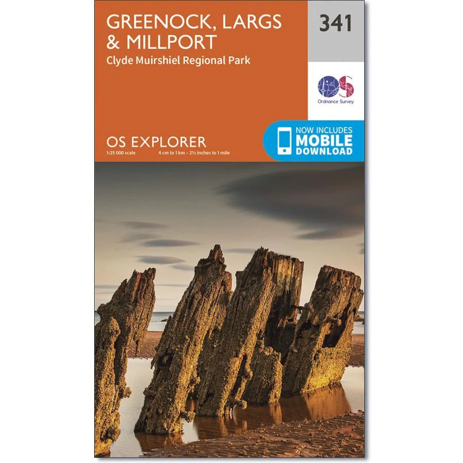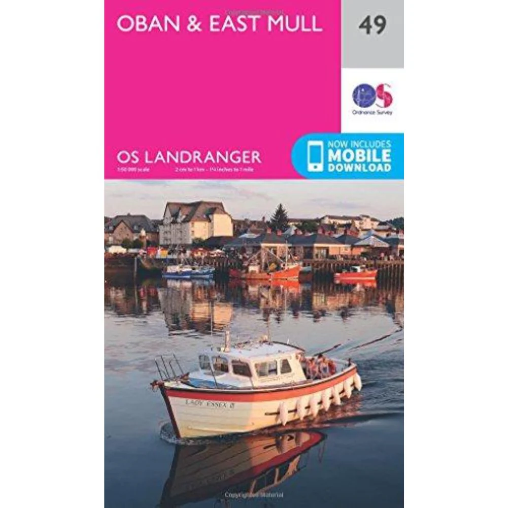
Ordnance Survey Landranger Map 49 - Oban & East Mull
Ordnance Survey Landranger Map 49 - Oban & East Mull
Topographic mapping Highly detailed contour mapping highlighting variations in terrain and everything you would expect from a map
Explore local landmarks Discover camping sites, picnic spots, tourist information, car parks, historical sites, pubs, & much more
Free digital map download Every 4cm on the map is 1km, making our leisure selection the most detailed maps; perfect for activities such as walking, running, and cycling
Be ready for anything Find marked public rights of way, byways, trails, cycle routes, bridleways, road networks, & railway lines
Original: $14.93
-65%$14.93
$5.23Product Information
Product Information
Shipping & Returns
Shipping & Returns
Description
Ordnance Survey Landranger Map 49 - Oban & East Mull
Topographic mapping Highly detailed contour mapping highlighting variations in terrain and everything you would expect from a map
Explore local landmarks Discover camping sites, picnic spots, tourist information, car parks, historical sites, pubs, & much more
Free digital map download Every 4cm on the map is 1km, making our leisure selection the most detailed maps; perfect for activities such as walking, running, and cycling
Be ready for anything Find marked public rights of way, byways, trails, cycle routes, bridleways, road networks, & railway lines