Ordnance Survey Landranger 85 - Carlisle & Solway Firth
Ordnance Survey Landranger 85 - Carlisle & Solway Firth
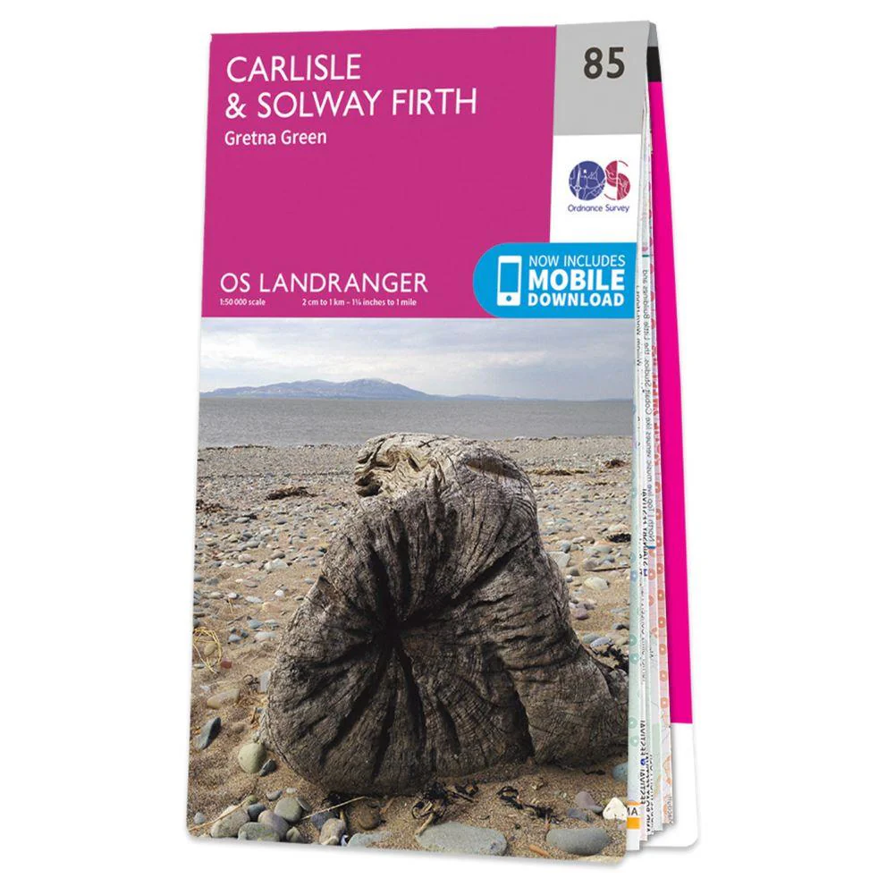
The Landranger map is an all-purpose map packed full of information to help you really get to know an area. Each map covers an area of 40 km by 40 km (25 miles by 25 miles). This map of Carlisle & Solway Firth also includes Gretna Green, Annan, Canonbie, Brydekirk, Dalton, Kirkbride, Silloth, Wigton, Thursby as well as part of the Lake District National Park and part of Hadrian's Wall.
Includes mobile download with this map you will receive a code for use on your iOS or Android smartphone or tablet
Original: $14.93
-65%$14.93
$5.23Product Information
Product Information
Shipping & Returns
Shipping & Returns
Description
Ordnance Survey Landranger 85 - Carlisle & Solway Firth
The Landranger map is an all-purpose map packed full of information to help you really get to know an area. Each map covers an area of 40 km by 40 km (25 miles by 25 miles). This map of Carlisle & Solway Firth also includes Gretna Green, Annan, Canonbie, Brydekirk, Dalton, Kirkbride, Silloth, Wigton, Thursby as well as part of the Lake District National Park and part of Hadrian's Wall.
Includes mobile download with this map you will receive a code for use on your iOS or Android smartphone or tablet