✨ New Arrivals Just Dropped!Explore

1 / 5
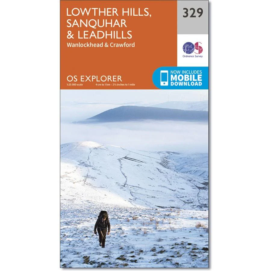
Ordnance Survey Explorer Map 329 Lowther Hills, Sanquhar & Leadhills
Ordnance Survey Explorer Map Lowther Hills, Sanquhar & Leadhills
Wanlockhead and Crawford
Also shown is the Southern Upland Way, part of the E2 European Long Distance Path. This area also boasts the highest village in Scotland - Wanlockhead lies mainly above 467m.
$5.23
Original: $14.93
-65%Ordnance Survey Explorer Map 329 Lowther Hills, Sanquhar & Leadhills—
$14.93
$5.23Product Information
Product Information
Shipping & Returns
Shipping & Returns
Description
Ordnance Survey Explorer Map Lowther Hills, Sanquhar & Leadhills
Wanlockhead and Crawford
Also shown is the Southern Upland Way, part of the E2 European Long Distance Path. This area also boasts the highest village in Scotland - Wanlockhead lies mainly above 467m.