Ordnance Survey Explorer Map 398 Loch Morar & Mallaig
Ordnance Survey Explorer Map 398 Loch Morar & Mallaig
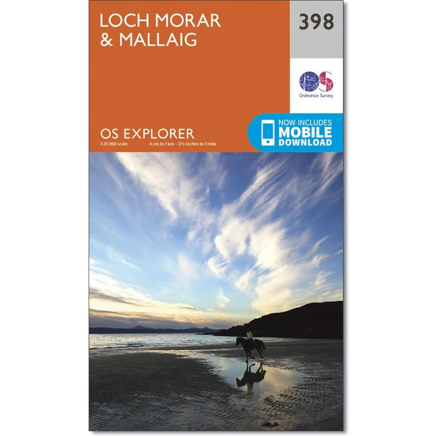
The area around Loch Morar and the port village of Mallaig is wild, beautiful and remote. The A830 links Mallaig to Glenfinnan and Fort William, but aside from that you will be on tracks or unmarked land in most areas - a good map and some navigation skills are a must.
Loch Morrar is the deepest freshwater body in Britain, with a depth of 310m, while slightly further north the sea loch Loch Nevis is well known for salmon farming. In this area you will also find eight Munros - these are challenging not only for the climb but the effort required to reach them.
With this map you will receive a code for use on your iOS or Android smartphone or tablet.
Product Information
Product Information
Shipping & Returns
Shipping & Returns
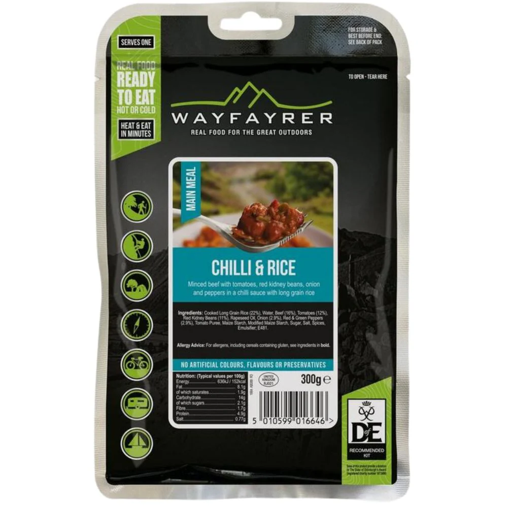
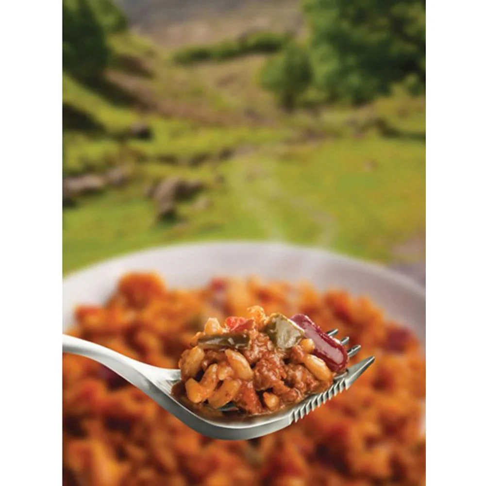
Description
Ordnance Survey Explorer Map 398 Loch Morar & Mallaig
The area around Loch Morar and the port village of Mallaig is wild, beautiful and remote. The A830 links Mallaig to Glenfinnan and Fort William, but aside from that you will be on tracks or unmarked land in most areas - a good map and some navigation skills are a must.
Loch Morrar is the deepest freshwater body in Britain, with a depth of 310m, while slightly further north the sea loch Loch Nevis is well known for salmon farming. In this area you will also find eight Munros - these are challenging not only for the climb but the effort required to reach them.
With this map you will receive a code for use on your iOS or Android smartphone or tablet.