
Ordnance Survey OL Map 16 The Cheviot Hills
Ordnance Survey OL Map 16 The Cheviot Hills
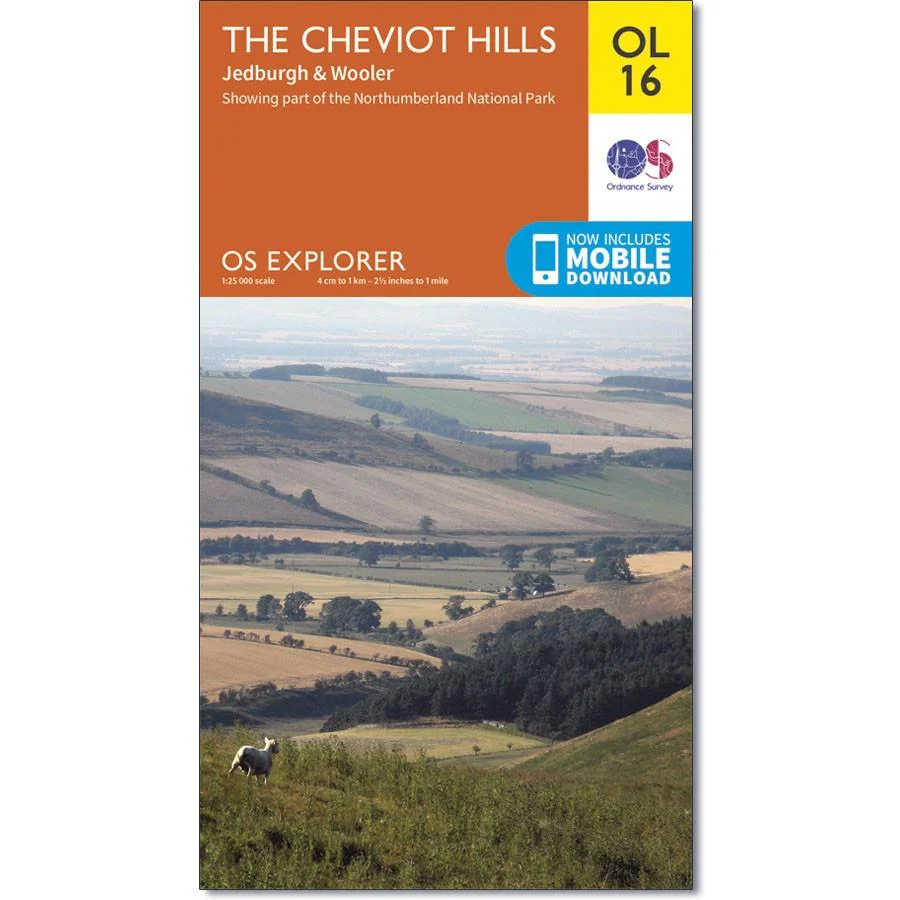
Map sheet number OL16 in the OS Explorer series covers Jedburgh, Wooler, Alwinton, Harbottle and the Cheviot Hills. Highlights of the area include The Cheviot, Catscleugh Reservoir, the River Coquet, the top corner of Kielder Forest Park, Linhope, Scrathy Holes, Crink Law, Bell Hill. Corby Pike, Bloodybush Edge, Hedgehope Hill, Lumsdon Law and Cold Law.
With this map you will receive a code for use on your iOS or Android smartphone or tablet.
Original: $14.93
-65%$14.93
$5.23Product Information
Product Information
Shipping & Returns
Shipping & Returns
Description
Ordnance Survey OL Map 16 The Cheviot Hills
Map sheet number OL16 in the OS Explorer series covers Jedburgh, Wooler, Alwinton, Harbottle and the Cheviot Hills. Highlights of the area include The Cheviot, Catscleugh Reservoir, the River Coquet, the top corner of Kielder Forest Park, Linhope, Scrathy Holes, Crink Law, Bell Hill. Corby Pike, Bloodybush Edge, Hedgehope Hill, Lumsdon Law and Cold Law.
With this map you will receive a code for use on your iOS or Android smartphone or tablet.


