
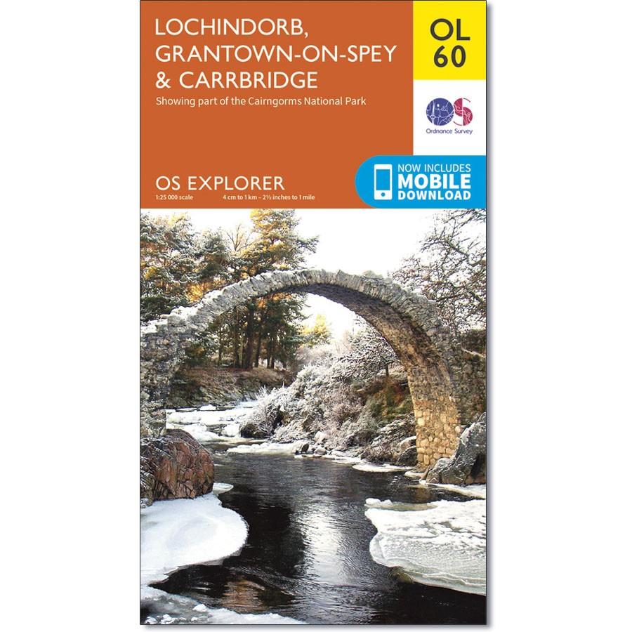
Ordnance Survey Map OL 60 Lochindorb, Grantown-on-Spey & Carrbridge
Ordnance Survey Map OL 60 Lochindorb, Grantown-on-Spey & Carrbridge
Showing the north-western area of Cairngorms National Park, plus Strathdearn and the River Findhorn, OS Explorer map OL 60 is the perfect companies for walking, running, riding or any outdoor pursuit. This map replaces the previous OS Explorer map 418 for this area
This map features the Dava Way and Speyside Way, Lochindorb and Loch Moy
With this map you will receive a code for use on your iOS or Android smartphone or tablet.
Original: $14.93
-65%$14.93
$5.23Product Information
Product Information
Shipping & Returns
Shipping & Returns
Description
Ordnance Survey Map OL 60 Lochindorb, Grantown-on-Spey & Carrbridge
Showing the north-western area of Cairngorms National Park, plus Strathdearn and the River Findhorn, OS Explorer map OL 60 is the perfect companies for walking, running, riding or any outdoor pursuit. This map replaces the previous OS Explorer map 418 for this area
This map features the Dava Way and Speyside Way, Lochindorb and Loch Moy
With this map you will receive a code for use on your iOS or Android smartphone or tablet.


