
Ordnance Survey Map OL 59 Aboyne, Alford & Strathdon
Ordnance Survey Map OL 59 Aboyne, Alford & Strathdon
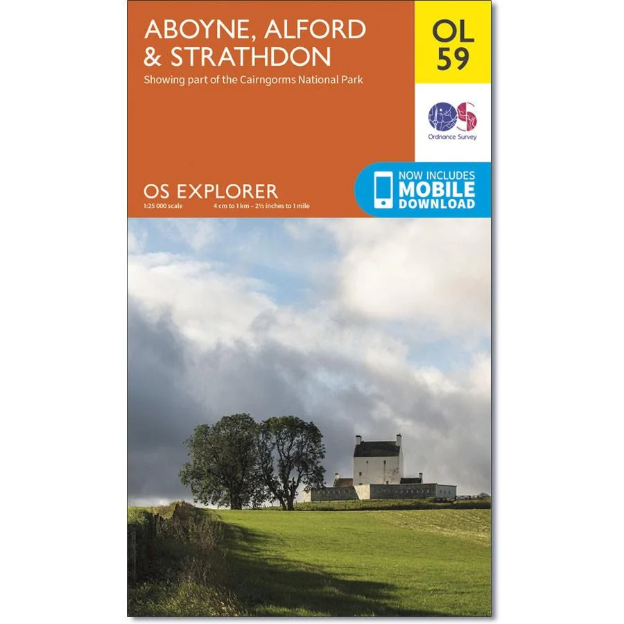
The eastern side of the Cairngorms National Park, the River Don and the eastern Grampians are covered by OS Explorer Map OL 59
There are a number of peaks surrounding Strathdon to explore, including Mona Gowan (749 m) and Carn Mor (578 m). This map replaces the previous OS Explorer map 405 for this area.
With this map you will receive a code for use on your iOS or Android smartphone or tablet.
Product Information
Product Information
Shipping & Returns
Shipping & Returns
Description
Ordnance Survey Map OL 59 Aboyne, Alford & Strathdon
The eastern side of the Cairngorms National Park, the River Don and the eastern Grampians are covered by OS Explorer Map OL 59
There are a number of peaks surrounding Strathdon to explore, including Mona Gowan (749 m) and Carn Mor (578 m). This map replaces the previous OS Explorer map 405 for this area.
With this map you will receive a code for use on your iOS or Android smartphone or tablet.


