✨ New Arrivals Just Dropped!Explore

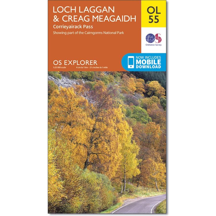
Ordnance Survey Map OL 55 Loch Laggan & Creag Meagaidh
Ordnance Survey Map OL 55 Loch Laggan & Creag Meagaidh
OS Explorer map OL 55 covers Loch Laggan, part of the Cairngorms National Park, Corrieyairick Forest and six Munros. This map replaces the previous OS Explorer map 401 for this area.
With this map you will receive a code for use on your iOS or Android smartphone or tablet.
$14.93
Ordnance Survey Map OL 55 Loch Laggan & Creag Meagaidh—
$14.93
Product Information
Product Information
Shipping & Returns
Shipping & Returns
Description
Ordnance Survey Map OL 55 Loch Laggan & Creag Meagaidh
OS Explorer map OL 55 covers Loch Laggan, part of the Cairngorms National Park, Corrieyairick Forest and six Munros. This map replaces the previous OS Explorer map 401 for this area.
With this map you will receive a code for use on your iOS or Android smartphone or tablet.


