
Ordnance Survey Landranger Map 8 Stornoway & North Lewis
Ordnance Survey Landranger Map 8 Stornoway & North Lewis
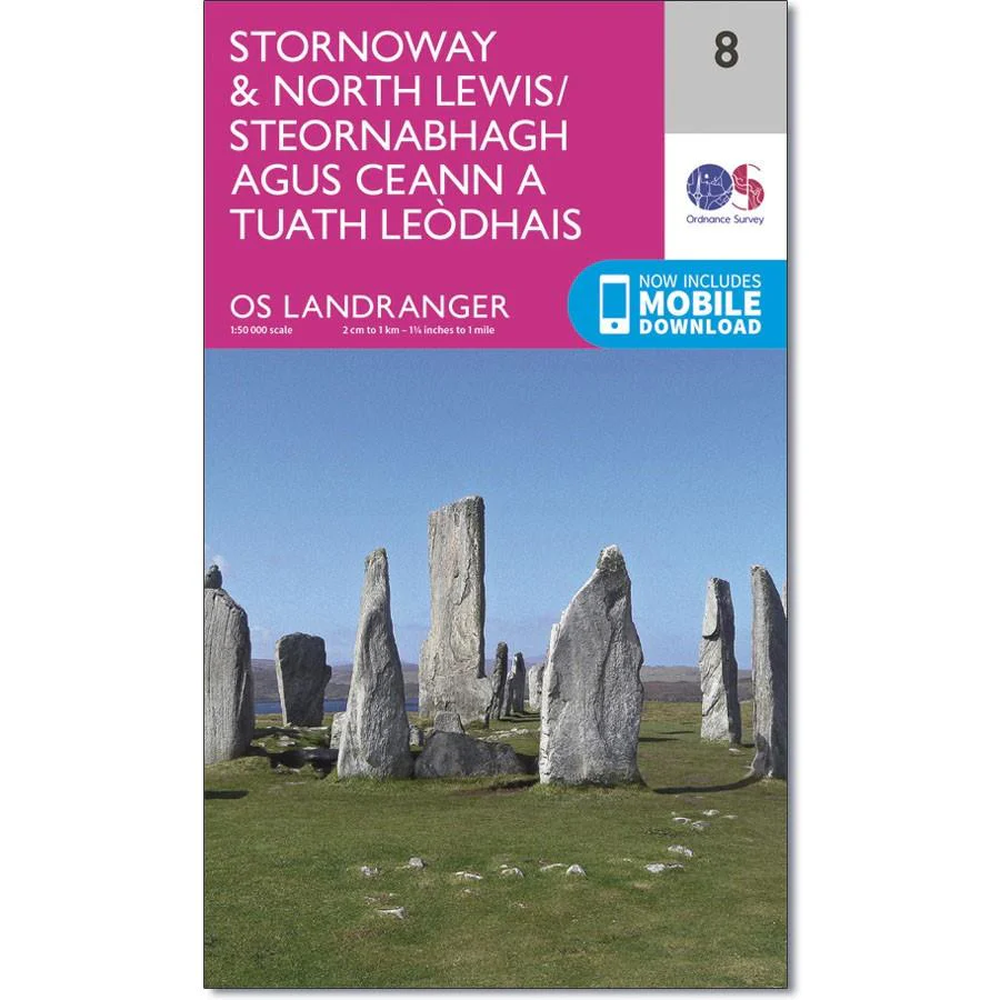
OS Landranger map 8 covers Stornoway and North Lewis, It also includes Bac, Tunga, Arnol, Siadar, Beinn Dhail, Muirneag, Stacaiseal and Port Nis.
Stornoway is the largest town in the Outer Hebrides and has the main ferry port, so it a good location for exploring the islands. Top places to see include the Lewis Castle and the Arnol Blackhouse.
With this map you will receive a code for use on your iOS or Android smartphone or tablet.
Product Information
Product Information
Shipping & Returns
Shipping & Returns
Description
Ordnance Survey Landranger Map 8 Stornoway & North Lewis
OS Landranger map 8 covers Stornoway and North Lewis, It also includes Bac, Tunga, Arnol, Siadar, Beinn Dhail, Muirneag, Stacaiseal and Port Nis.
Stornoway is the largest town in the Outer Hebrides and has the main ferry port, so it a good location for exploring the islands. Top places to see include the Lewis Castle and the Arnol Blackhouse.
With this map you will receive a code for use on your iOS or Android smartphone or tablet.


