
Ordnance Survey Landranger Map 71 Lanark & Upper Nithsdale
Ordnance Survey Landranger Map 71 Lanark & Upper Nithsdale
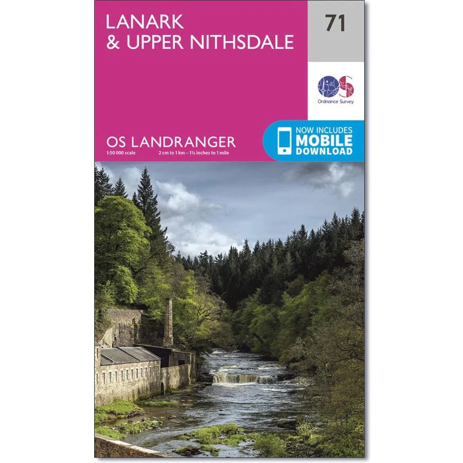
OS Landranger map 71 covers the Upper Nithsdale, the Tinto Hills and the towns of Lanark, Cumnock, Darvel and Kirkconnel.
Explore the Southern Upland Way through the Lowther Hills, or try to reach one of the numbers of peaks in the area.
With this map you will receive a code for use on your iOS or Android smartphone or tablet.
Original: $14.93
-65%$14.93
$5.23Product Information
Product Information
Shipping & Returns
Shipping & Returns
Description
Ordnance Survey Landranger Map 71 Lanark & Upper Nithsdale
OS Landranger map 71 covers the Upper Nithsdale, the Tinto Hills and the towns of Lanark, Cumnock, Darvel and Kirkconnel.
Explore the Southern Upland Way through the Lowther Hills, or try to reach one of the numbers of peaks in the area.
With this map you will receive a code for use on your iOS or Android smartphone or tablet.


