
Ordnance Survey Landranger Map 67 Duns, Dunbar & Eyemouth
Duns, Dunbar & Eyemouth
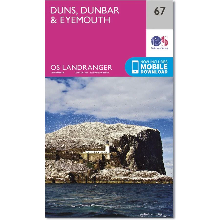
OS Landranger map 67 shows the east coast near Edinburgh and includes the towns of Duns, Dunbar, East Linton, Eyemouth and Cosckburnspath.
It marks the eastern end of the Southern Upland Way, and you can also explore the Lammermuir Hills.
With this map, you will receive a code for use on your iOS or Android smartphone or tablet.
Original: $14.93
-65%$14.93
$5.23Product Information
Product Information
Shipping & Returns
Shipping & Returns
Description
Duns, Dunbar & Eyemouth
OS Landranger map 67 shows the east coast near Edinburgh and includes the towns of Duns, Dunbar, East Linton, Eyemouth and Cosckburnspath.
It marks the eastern end of the Southern Upland Way, and you can also explore the Lammermuir Hills.
With this map, you will receive a code for use on your iOS or Android smartphone or tablet.


