
Ordnance Survey Landranger Map 51 Loch Tay & Glen Dochart
Ordnance Survey Landranger Map 51 Loch Tay & Glen Dochart
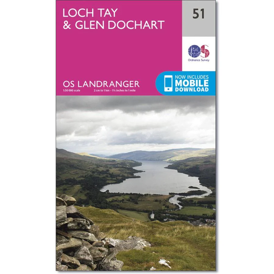
Glen Dochart is a wide and tranquil glen where people come to fish, play golf and go walking in the stunning Scottish scenery. It stretches from Loch Lyon in the west to Loch Tay in the east.
The OS Landranger map 51 also includes the Tay Forest Park, Loch Lednock Reservoir, Loch Voil, Glen Lyon, Ben Lawers, Carn Mairg, Acharn, Killin and The Loch Lomond and part of The Trossachs National Park.
With this map you will receive a code for use on your iOS or Android smartphone or tablet.
Product Information
Product Information
Shipping & Returns
Shipping & Returns
Description
Ordnance Survey Landranger Map 51 Loch Tay & Glen Dochart
Glen Dochart is a wide and tranquil glen where people come to fish, play golf and go walking in the stunning Scottish scenery. It stretches from Loch Lyon in the west to Loch Tay in the east.
The OS Landranger map 51 also includes the Tay Forest Park, Loch Lednock Reservoir, Loch Voil, Glen Lyon, Ben Lawers, Carn Mairg, Acharn, Killin and The Loch Lomond and part of The Trossachs National Park.
With this map you will receive a code for use on your iOS or Android smartphone or tablet.


