
Ordnance Survey Landranger Map 2 Shetland
OS Landranger map 2
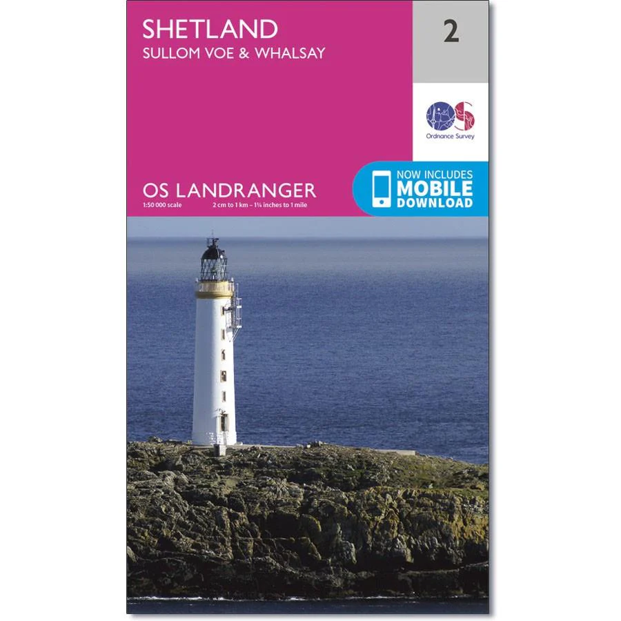
Shows Shetland Mainland, Whalsay, parts of Yell and Fetlar and the Sullom Voe harbour used by the oil industry.
Wildlife and history are the biggest draws to the area, with remains of human occupation dating back to the stone age, combined with some of the rarest bird species in the UK.
With this map you will receive a code for use on your iOS or Android smartphone or tablet.
Product Information
Product Information
Shipping & Returns
Shipping & Returns
Description
OS Landranger map 2
Shows Shetland Mainland, Whalsay, parts of Yell and Fetlar and the Sullom Voe harbour used by the oil industry.
Wildlife and history are the biggest draws to the area, with remains of human occupation dating back to the stone age, combined with some of the rarest bird species in the UK.
With this map you will receive a code for use on your iOS or Android smartphone or tablet.


