
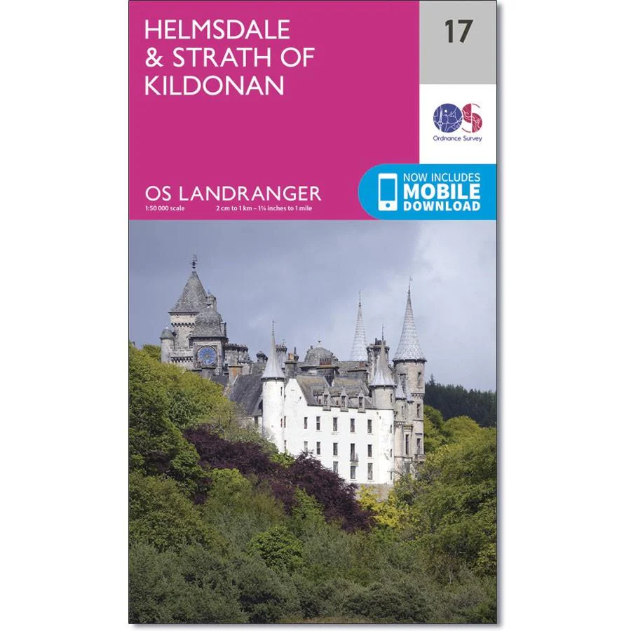
Ordnance Survey Landranger Map 17 Helmsdale & Strath of Kildonan
Ordnance Survey Landranger Map 17 Helmsdale & Strath of Kildonan
OS Landranger map 17 shows the northern coast of the Moray Firth, including Helmsdale, Portgower, Brora, Braemore and the Strath of Kildonan.
The mountains either side of the River Helmsdale provide plenty of opportunities for exploring, and the multitude of ancient remains makes this an interesting area fir those looking to discover the history of this part of Scotland.
With this map you will receive a code for use on your iOS or Android smartphone or tablet.
Original: $14.93
-65%$14.93
$5.23Product Information
Product Information
Shipping & Returns
Shipping & Returns
Description
Ordnance Survey Landranger Map 17 Helmsdale & Strath of Kildonan
OS Landranger map 17 shows the northern coast of the Moray Firth, including Helmsdale, Portgower, Brora, Braemore and the Strath of Kildonan.
The mountains either side of the River Helmsdale provide plenty of opportunities for exploring, and the multitude of ancient remains makes this an interesting area fir those looking to discover the history of this part of Scotland.
With this map you will receive a code for use on your iOS or Android smartphone or tablet.


