
Ordnance Survey Landranger Map 12 Thurso & Wick
Ordnance Survey Landranger Map 12 Thurso & Wick
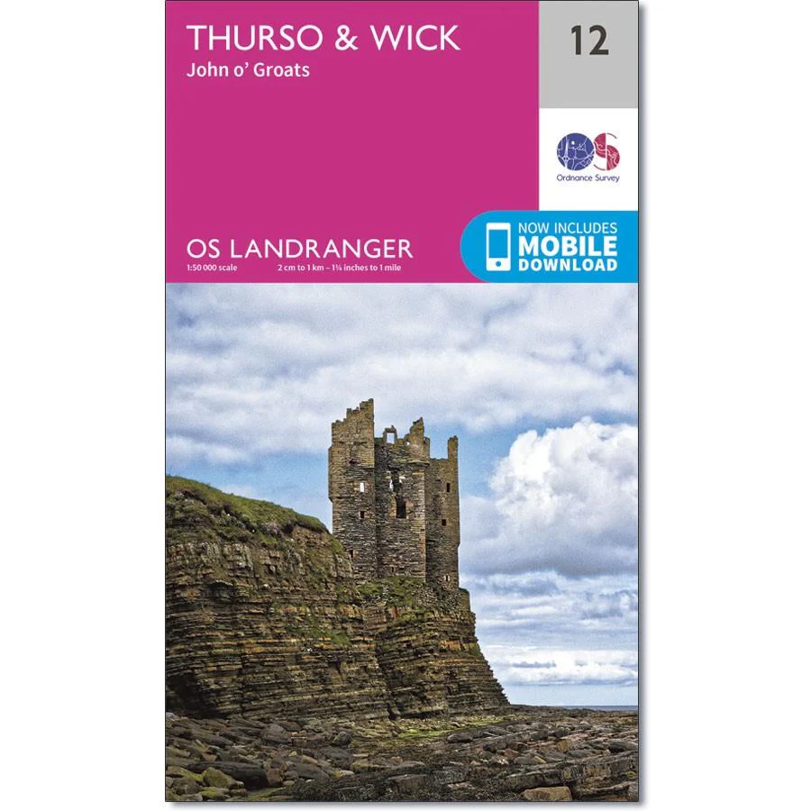
OS Landranger map 12 covers John O'Groats, Thurso and Wick in the far north of Scotland. The iconic signpost marks the start (or end) point of the John O'Groats to Land's End route that's been walked, run and cycled - and even once swum by Sean Conway in 2013.
Visit Duncansby Head for some impressive cliff views, and then return to John O'Groats to warm up in the iconic Inn, built in 1875.
With this map you will receive a code for use on your iOS or Android smartphone or tablet.
Product Information
Product Information
Shipping & Returns
Shipping & Returns
Description
Ordnance Survey Landranger Map 12 Thurso & Wick
OS Landranger map 12 covers John O'Groats, Thurso and Wick in the far north of Scotland. The iconic signpost marks the start (or end) point of the John O'Groats to Land's End route that's been walked, run and cycled - and even once swum by Sean Conway in 2013.
Visit Duncansby Head for some impressive cliff views, and then return to John O'Groats to warm up in the iconic Inn, built in 1875.
With this map you will receive a code for use on your iOS or Android smartphone or tablet.


