
Ordnance Survey Landranger Map 11 Thurso & Dunbeath
Ordnance Survey Landranger Map 11 Thurso & Dunbeath
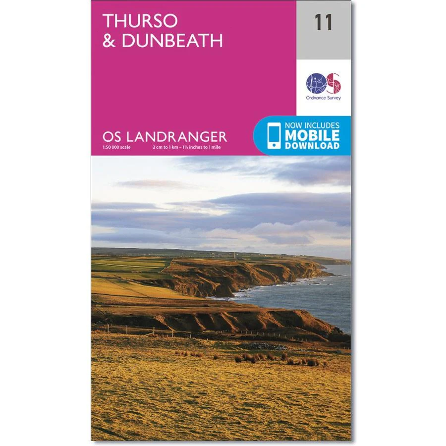
OS Landranger map 11 covers the area just south of John O'Groats and includes the towns of Thurso, Dunbeath, Lybster, Westerdale and Reay.
The remote areas around Loch More and Loch of Toftingall provide opportunities for walking and cycling.
With this map you will receive a code for use on your iOS or Android smartphone or tablet.
Product Information
Product Information
Shipping & Returns
Shipping & Returns
Description
Ordnance Survey Landranger Map 11 Thurso & Dunbeath
OS Landranger map 11 covers the area just south of John O'Groats and includes the towns of Thurso, Dunbeath, Lybster, Westerdale and Reay.
The remote areas around Loch More and Loch of Toftingall provide opportunities for walking and cycling.
With this map you will receive a code for use on your iOS or Android smartphone or tablet.


