
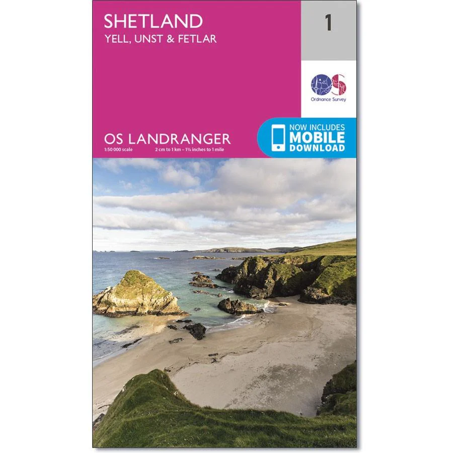
Ordnance Survey Landranger Map 1 Shetland
Ordnance Survey Landranger Map 1 Shetland
OS Landranger map 1 covers the northernmost tip of the UK - the islands of Yell, Unst and Fetlar in the Shetlands.
It also covers part of the Shetland Mainland, the Yell Sound and the Colgrave Sound and includes the towns of North Roe, Housetter, West Sandwick, Otterswick, Hamnavoe Haroldswick and Lund.
Seabirds, otters and other wildlife are found in abundance on the islands - with nature reserves such as Hermaness popular with adventurous birdwatchers. If you are a cyclist you can also follow the cycle route on the main road through the islands, including two ferry crossings.
With this map, you will receive a code for use on your iOS or Android smartphone or tablet.
Original: $14.93
-65%$14.93
$5.23Product Information
Product Information
Shipping & Returns
Shipping & Returns
Description
Ordnance Survey Landranger Map 1 Shetland
OS Landranger map 1 covers the northernmost tip of the UK - the islands of Yell, Unst and Fetlar in the Shetlands.
It also covers part of the Shetland Mainland, the Yell Sound and the Colgrave Sound and includes the towns of North Roe, Housetter, West Sandwick, Otterswick, Hamnavoe Haroldswick and Lund.
Seabirds, otters and other wildlife are found in abundance on the islands - with nature reserves such as Hermaness popular with adventurous birdwatchers. If you are a cyclist you can also follow the cycle route on the main road through the islands, including two ferry crossings.
With this map, you will receive a code for use on your iOS or Android smartphone or tablet.


