
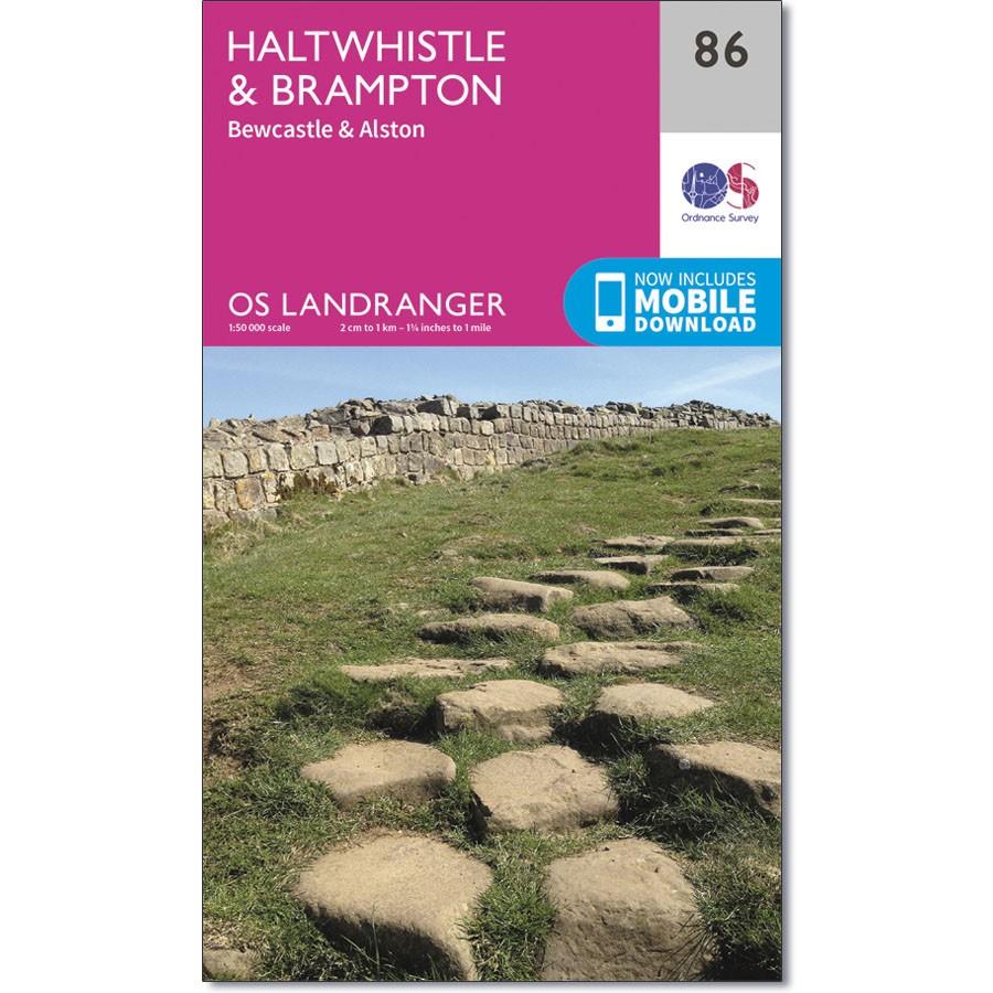
Ordnance Survey Landranger 86 - Haltwhistle & Brampton
Ordnance Survey Landranger 86 - Haltwhistle & Brampton
The OS Landranger map (86) of Haltwhistle & Brampton also includes Bewcastle, Alston, Stonehaugh, Cotehill, Newbiggin, Slaggyford, Croglin, Gilsland, Henshaw as well as part of Northumberland National Park.
Hadrians Wall Path crosses this area, while the Pennine Way joins it at Greenhead.
Includes mobile download with this map you will receive a code for use on your iOS or Android smartphone or tablet
Original: $14.93
-65%$14.93
$5.23Product Information
Product Information
Shipping & Returns
Shipping & Returns
Description
Ordnance Survey Landranger 86 - Haltwhistle & Brampton
The OS Landranger map (86) of Haltwhistle & Brampton also includes Bewcastle, Alston, Stonehaugh, Cotehill, Newbiggin, Slaggyford, Croglin, Gilsland, Henshaw as well as part of Northumberland National Park.
Hadrians Wall Path crosses this area, while the Pennine Way joins it at Greenhead.
Includes mobile download with this map you will receive a code for use on your iOS or Android smartphone or tablet


