
Ordnance Survey Landranger 83 - Newton Stewart & Kirkcudbright
Ordnance Survey Landranger 83 - Newton Stewart & Kirkcudbright
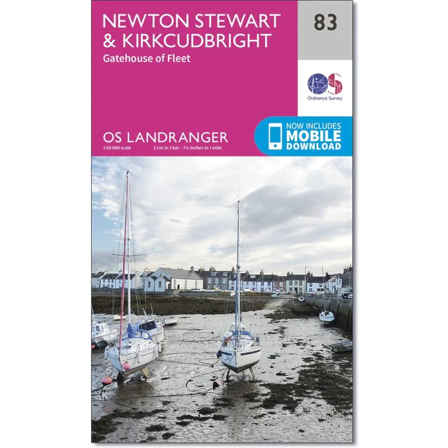
Newton Stewart sits at the geographical centre of the rolling Galloway Hills and Forest Park, and is shown on OS Landranger map 83.
Situated at the estuary of the River Dee is the old fishing town of Kirkcudbright. This map also includes Loch Ken, Whithorn, Wigtown, Carsluith, Gatehouse of Fleet, Twynholm, Loch Mannoch, Lake Whinyeon and Burrow Head.
Includes mobile download with this map you will receive a code for use on your iOS or Android smartphone or tablet.
Original: $14.93
-65%$14.93
$5.23Product Information
Product Information
Shipping & Returns
Shipping & Returns
Description
Ordnance Survey Landranger 83 - Newton Stewart & Kirkcudbright
Newton Stewart sits at the geographical centre of the rolling Galloway Hills and Forest Park, and is shown on OS Landranger map 83.
Situated at the estuary of the River Dee is the old fishing town of Kirkcudbright. This map also includes Loch Ken, Whithorn, Wigtown, Carsluith, Gatehouse of Fleet, Twynholm, Loch Mannoch, Lake Whinyeon and Burrow Head.
Includes mobile download with this map you will receive a code for use on your iOS or Android smartphone or tablet.


