
Ordnance Survey Landranger Map 10 Strath Naver
Ordnance Survey Lamdranger Map 10
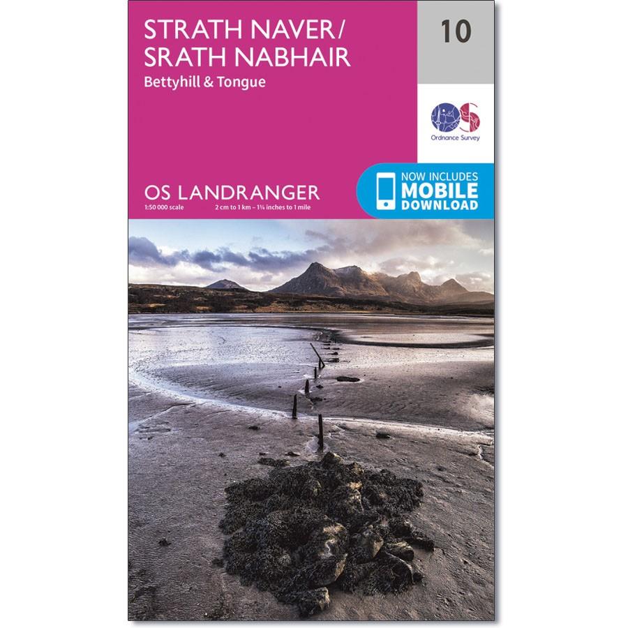
OS Landranger map 10 shows the far north of mainland Scotland, including Strath Naver, Bettyhill and Tongue.
You'll generally be able to get the beaches near Bettyhill to yourself, even in the summer. Alternatively, follow the largely unmarked Moin Path from near Kinloch Lodge for an interesting navigational challenge.
With this map you will receive a code for use on your iOS or Android smartphone or tablet.
Product Information
Product Information
Shipping & Returns
Shipping & Returns
Description
Ordnance Survey Lamdranger Map 10
OS Landranger map 10 shows the far north of mainland Scotland, including Strath Naver, Bettyhill and Tongue.
You'll generally be able to get the beaches near Bettyhill to yourself, even in the summer. Alternatively, follow the largely unmarked Moin Path from near Kinloch Lodge for an interesting navigational challenge.
With this map you will receive a code for use on your iOS or Android smartphone or tablet.


