
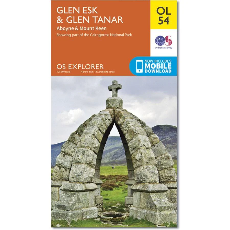
Ordnance Survey Explorer OL 54 Map Glen Esk & Glen Tanar
Ordnance Survey Explorer Map OL 54 Glen Esk & Glen Tanar
With few settlements, the area around Glen Esk and Glen Tanar is best explored on foot.
OL 54 includes part of the Cairngorms National Park, the Deeside Way and Mount Keen, at 939m. See if you can reach the Trig point at the peak. This map replaces the previous OS Explorer map 395 for this area.
With this map you will receive a code for use on your iOS or Android smartphone or tablet
Original: $14.93
-65%$14.93
$5.23Product Information
Product Information
Shipping & Returns
Shipping & Returns
Description
Ordnance Survey Explorer Map OL 54 Glen Esk & Glen Tanar
With few settlements, the area around Glen Esk and Glen Tanar is best explored on foot.
OL 54 includes part of the Cairngorms National Park, the Deeside Way and Mount Keen, at 939m. See if you can reach the Trig point at the peak. This map replaces the previous OS Explorer map 395 for this area.
With this map you will receive a code for use on your iOS or Android smartphone or tablet


