
Ordnance Survey Explorer Map 455 South Harris
Ordnance Survey Explorer Map 455 South Harris
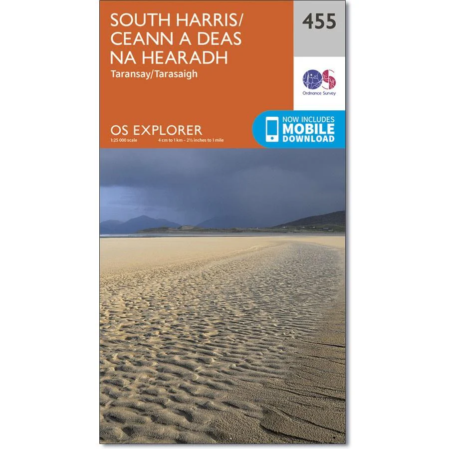
OS Explorer map 455 shows the southern part of Harris in the Outer Hebrides, all of which is designated as a National Scenic Area.
With few settlements and official paths, this is an area that lends itself to exploration on foot. The adventurous can discover unspoilt sandy beaches and dramatic scenery.
With this map, you will receive a code for use on your iOS or Android smartphone or tablet.
Original: $14.93
-65%$14.93
$5.23Product Information
Product Information
Shipping & Returns
Shipping & Returns
Description
Ordnance Survey Explorer Map 455 South Harris
OS Explorer map 455 shows the southern part of Harris in the Outer Hebrides, all of which is designated as a National Scenic Area.
With few settlements and official paths, this is an area that lends itself to exploration on foot. The adventurous can discover unspoilt sandy beaches and dramatic scenery.
With this map, you will receive a code for use on your iOS or Android smartphone or tablet.


