✨ New Arrivals Just Dropped!Explore

Ordnance Survey Explorer Map 359 Oban, Kerrera & Loch Melfort
Ordnance Survey Explorer Map 359 Oban, Kerrera & Loch Melfort
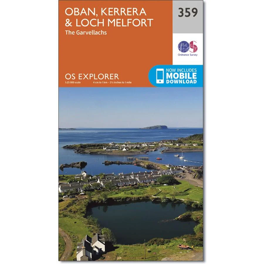
Map sheet number 359 covers Oban, Kerrera and Loch Melfort. Highlights include the National Scenic Area of Scarba, Lunga and the Garvellachs. Also includes Luing, Seil, Loch Scammadale and Loch Tralaig.
With this map you will receive a code for use on your iOS or Android smartphone or tablet.
$14.93
Ordnance Survey Explorer Map 359 Oban, Kerrera & Loch Melfort—
$14.93
Product Information
Product Information
Shipping & Returns
Shipping & Returns
Description
Ordnance Survey Explorer Map 359 Oban, Kerrera & Loch Melfort
Map sheet number 359 covers Oban, Kerrera and Loch Melfort. Highlights include the National Scenic Area of Scarba, Lunga and the Garvellachs. Also includes Luing, Seil, Loch Scammadale and Loch Tralaig.
With this map you will receive a code for use on your iOS or Android smartphone or tablet.


