
Ordnance Survey Explorer Map 340 Holy Island & Bamburgh
Ordnance Survey Explorer Map 340 Holy Island & Bamburgh
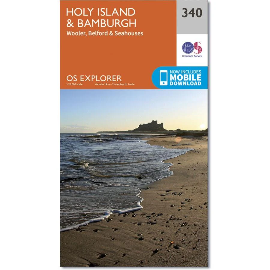
Map sheet 340 in the OS Explorer series covers the Northumbrian coast from High Newton to Scremerston. An area with stunning views, forests and steeped in history. Highlights of the area include Holy Island (Lindisfarne), The Farne Islands, Wooler, Bamburgh Castle, Seahouses and St. Oswald's Way.
With this map, you will receive a code for use on your iOS or Android smartphone or tablet.
Product Information
Product Information
Shipping & Returns
Shipping & Returns
Description
Ordnance Survey Explorer Map 340 Holy Island & Bamburgh
Map sheet 340 in the OS Explorer series covers the Northumbrian coast from High Newton to Scremerston. An area with stunning views, forests and steeped in history. Highlights of the area include Holy Island (Lindisfarne), The Farne Islands, Wooler, Bamburgh Castle, Seahouses and St. Oswald's Way.
With this map, you will receive a code for use on your iOS or Android smartphone or tablet.


